
In the course of pulling sample materials for a presentation to Prof. Ron Schatz’s Exploring Middletown’s History (HIST171) class, I came across this aerial view of downtown Middletown found in the SC&A “Middletown, Photographs, Main St.” vertical file. Main Street runs diagonally from top left to bottom right, and Court and College Streets are running diagonally from lower left to top right. The photograph was probably taken in the late 1950s.
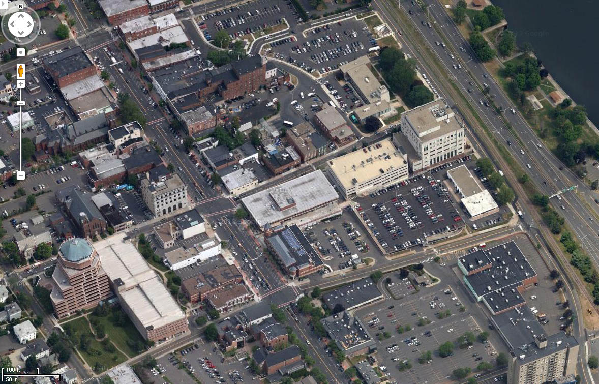
This photograph reminds us of the many structures that once stood in our city and how much redevelopment changes the urban landscape. Compare it with the present-day view below taken from Google maps. You can see some of the same buildings in both pictures, such as the Liberty and Citizens bank buildings, but otherwise, whole neighborhoods have disappeared and the streetscape of downtown is fundamentally different.